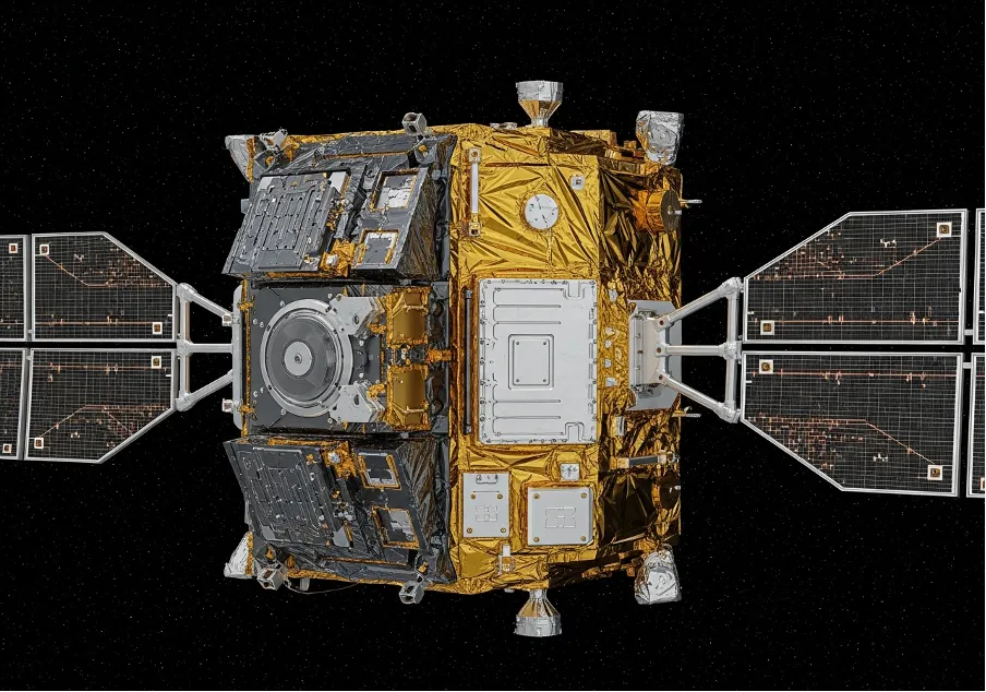
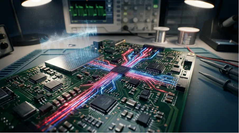
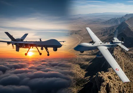
NISAR Radar Breakdown
How L-Band Satellite Tech Changes Earth Observation
Earth is a dynamic, restless system that shifts constantly under the cover of night and heavy cloud layers. While standard optical cameras often fail in these obscured conditions, the incoming l band radar technology bypasses such obstacles to capture surface changes with millimeter precision. This capability fundamentally shifts how we monitor everything from crumbling ice sheets to subtle ground deformation before an earthquake, moving us from simple observation to deep structural analysis.
The NISAR mission represents a massive leap forward rather than just an incremental update to existing orbital constellations. By deploying a specialized l-band radar alongside S-band instruments, scientists will soon have a dual-frequency view of the planet’s most complex processes. It is not just about taking pretty pictures from space; it is about measuring the breathing of the Earth's crust itself to understand the mechanics of disaster and renewal.
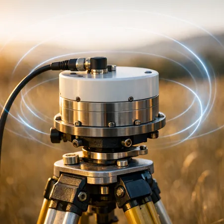
The Mechanics of Synthetic Aperture
Synthetic Aperture Radar often feels counterintuitive because it requires motion to create focus, unlike a stationary camera lens. A static antenna simply wouldn't work here; instead, the moving l band satellite synthesizes a large antenna aperture electronically to generate high-resolution images. This process involves beaming microwave energy down and recording the echoes, creating a map based on the physical properties of the ground.
Technically, the system operates on principles that distinguish it from standard optical sensors:
- longer wavelengths allow signals to penetrate deep into dense forest canopies;
- interaction with the molecular structure of vegetation reveals biomass density;
- phase differences in returning signals help calculate surface motion over time.
This specific set of capabilities makes the instrument indispensable for ecologists who need to see what lies beneath the leafy upper layers of the Amazon or the Congo, providing data that was previously impossible to gather on a global scale.
United Engineering: NASA and ISRO
The collaboration between NASA and ISRO brings different engineering philosophies together for a unified scientific goal. While the Indian Space Research Organisation provides the S-band sensors to monitor crop cycles, the primary NASA contribution is the high-powered nisar radar operating in the L-band frequency to handle heavy lifting for global change observation. This dual approach covers a broader range of observation targets than any single-frequency mission could hope to achieve, effectively doubling the scientific yield of the platform.
Environmental and Geological Applications
Scientists are particularly eager to apply this new stream of data to urgent environmental questions regarding climate change. The 24-centimeter wavelength of the l band offers a unique sweet spot for interacting with branches and trunks rather than just reflecting off leaves. This penetration is critical for estimating the carbon stored in the world's forests.
The projected data streams will support decision-making in critical areas:
- monitoring the flow rates of glaciers to predict sea-level rise;
- tracking groundwater withdrawal by measuring land subsidence;
- assessing damage extent immediately after volcanic eruptions or floods.
Having this information available on a global scale every 12 days transforms disaster response from reactive guessing to proactive management, saving both resources and lives in the process.
The Penetration Factor
We are moving toward a strictly data-driven understanding of planetary health, moving away from estimation. Previous missions provided snapshots, but the continuous coverage provided by l-band interferometry allows for the construction of time-series data that reveal trends invisible to the naked eye. It is the difference between seeing a single frame of a movie and watching the entire film, allowing us to catch the subtle precursors to major environmental shifts.
The sheer scale of the reflector boom assembly is an engineering marvel in itself, spanning nearly 12 meters across. Once unfurled in orbit, it dominates the spacecraft profile and acts as the primary ear for the returning signals. But the hardware is only the delivery mechanism for the data, which will be free and open to the public. That democratization of radar data might be the mission's most lasting legacy, allowing researchers from any nation to access the pulse of the planet.


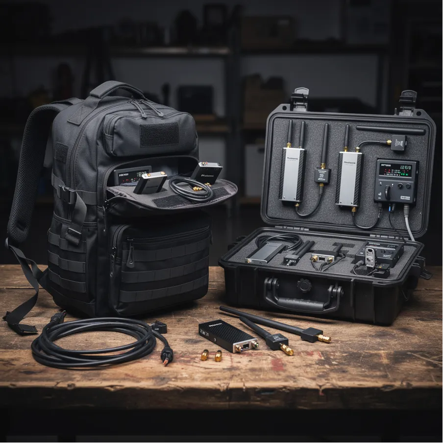


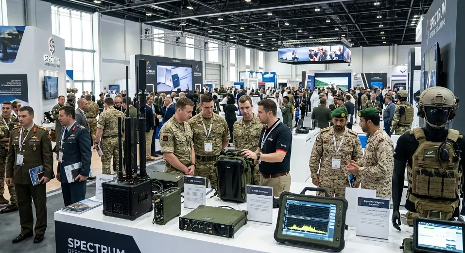


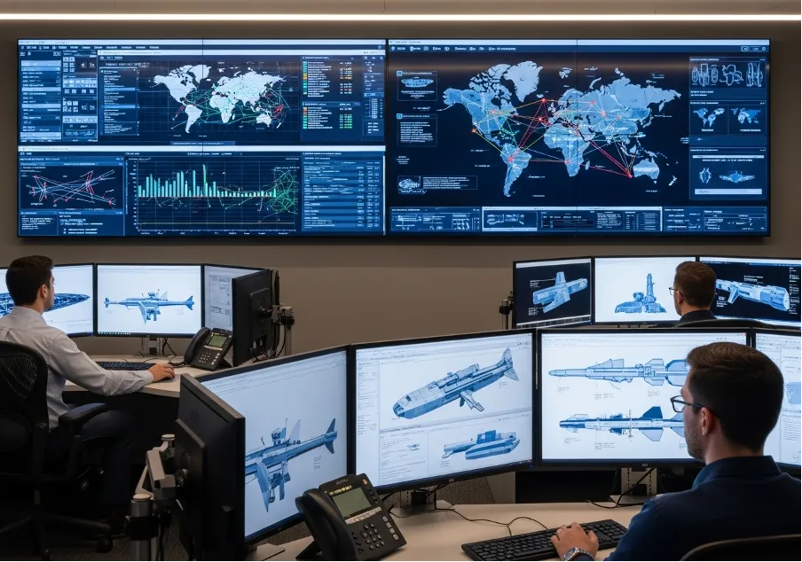


Trusted Worldwide
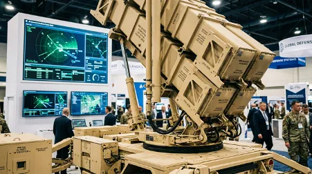
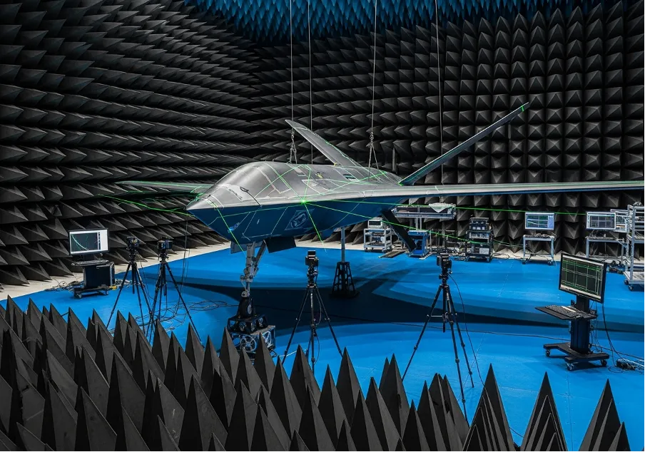
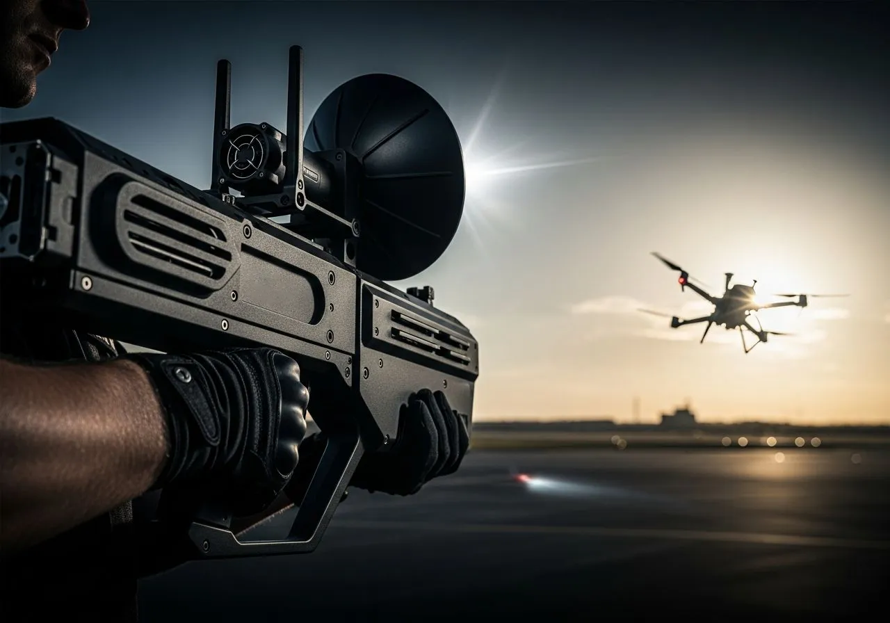
Operating in more than 50 countries, we provide cutting-edge defense solutions that ensure your safety to every corner of the globe.
Get Advice From Our Experts
Please complete the feedback form to gain exclusive access to our catalog showcasing models that are not available on our website
We’re here to assist you with any inquiries, support, or information you need. Whether you're interested in our defense products, looking to collaborate, or simply have a question, our team is ready to help.