Aerial Mapping Surveying
Straightforward Look at the Tech and Its Uses
Forget the fancy brochures for a minute. When we talk about aerial mapping surveying, we're talking about one simple thing: using something that flies to make a map. That's it. Instead of spending a week walking a muddy site with a GPS pole, we fly a drone or a small plane over it and capture all the data we need in a couple of hours.
The results are then processed on a computer to create things you can actually use—highly accurate photo-maps (we call them orthophotos), detailed 3D models of the terrain, and all the elevation data you could ever need. It's faster, often safer, and gives you a complete picture of your project that you just can't get from the ground.
The Tech Behind It: Pictures vs. Lasers
You’ll hear about two main ways of doing this: photogrammetry and LiDAR. They get you to a similar place but take different roads.
Photogrammetry is basically photography on steroids. The aircraft flies a precise grid pattern, taking thousands of overlapping pictures. Software then analyzes these pictures, finds the same points in multiple images, and uses that information to build everything in 3D. It’s incredibly powerful, and a properly executed aerial mapping flight can give you survey-grade accuracy. This method excels at creating realistic, full-color visuals.
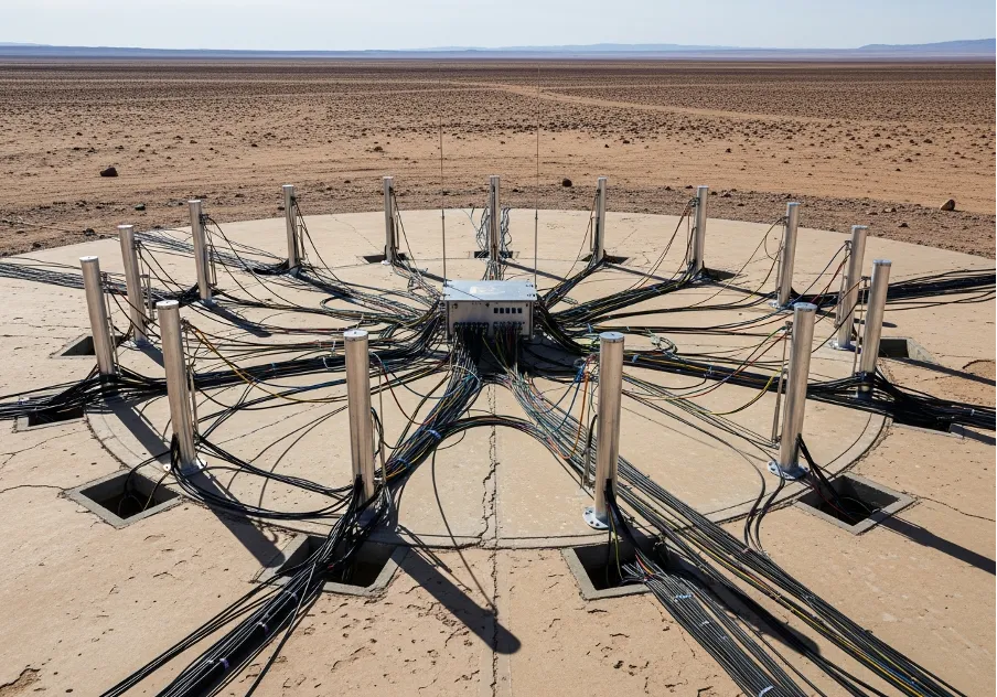
LiDAR is different. It doesn't use a camera; it uses a laser scanner. The unit sends out thousands of laser pulses per second and measures the time it takes for them to return. This gives you a direct, highly accurate measurement of a point in space. The collection of all these points is called a "point cloud." LiDAR’s superpower is its ability to "see" through trees and vegetation to map the bare ground beneath. For any project involving forestry or dense scrub, a uav aerial surveying mission with a LiDAR sensor is usually the only real option.
Either way, the job has a few basic stages:
- planning the flight path (probably the most important step);
- flying the mission and getting the raw data;
- processing that data back in the office, which can take days;
- creating the final maps and models for the client.
It's a process. You can't just skip a step.
What's Doing the Flying?
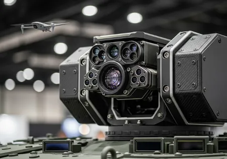
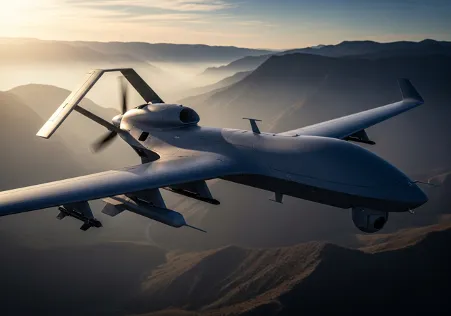
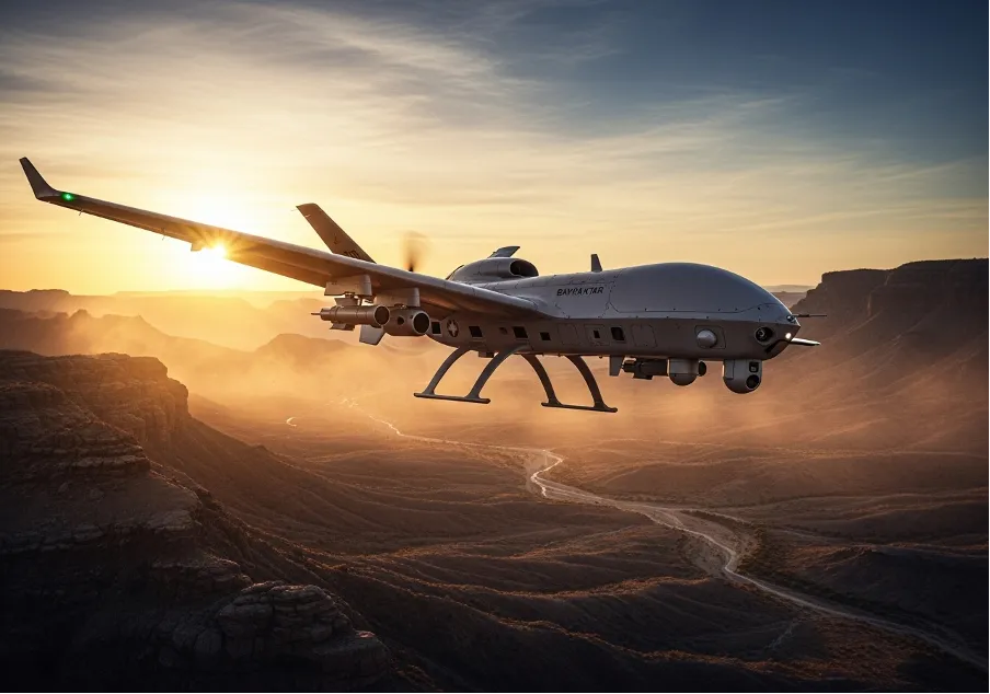
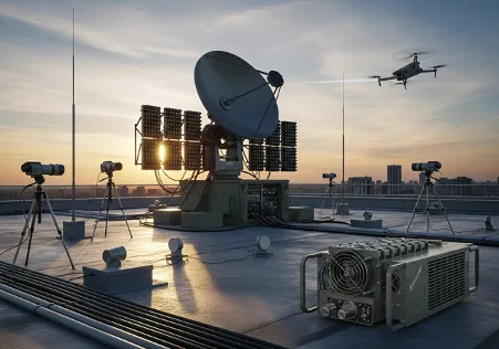
The aircraft—or platform—matters. For huge areas, we still use traditional airplanes. But for 90% of site-level work these days, it's all about drones.
And here’s where the terminology gets messy, thanks to marketing departments. You’ll hear it all: drone surveying, uav surveying, uas surveying... it’s all referring to the same fundamental process of using a small, unmanned aircraft. A UAV (Unmanned Aerial Vehicle) is the drone itself. A UAS (Unmanned Aerial System) is the drone plus the ground controller and communication links. Don't get too hung up on the terms; focus on what it does.
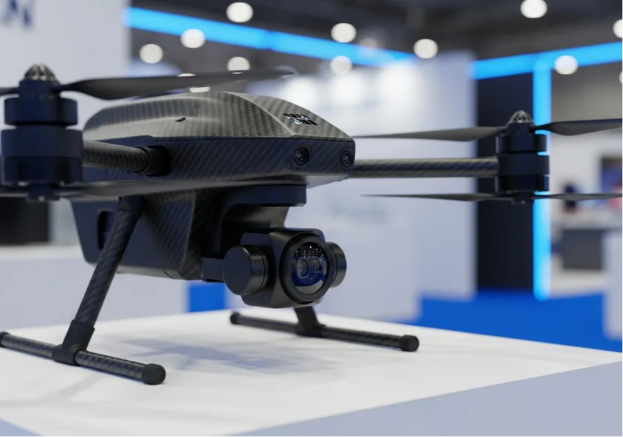
The specific surveying drone for a job depends on the site. A fixed-wing model can cover long distances like a pipeline route efficiently. A multi-rotor (the helicopter-style ones) can hover and get up close to structures. A good aerial survey drone is a tool, and you pick the right one for the job. The truth is, the quality of the sensor it carries is often more important than the drone itself, which is why a professional mapping drone can cost as much as a new car.
Turning Raw Data into Something Useful
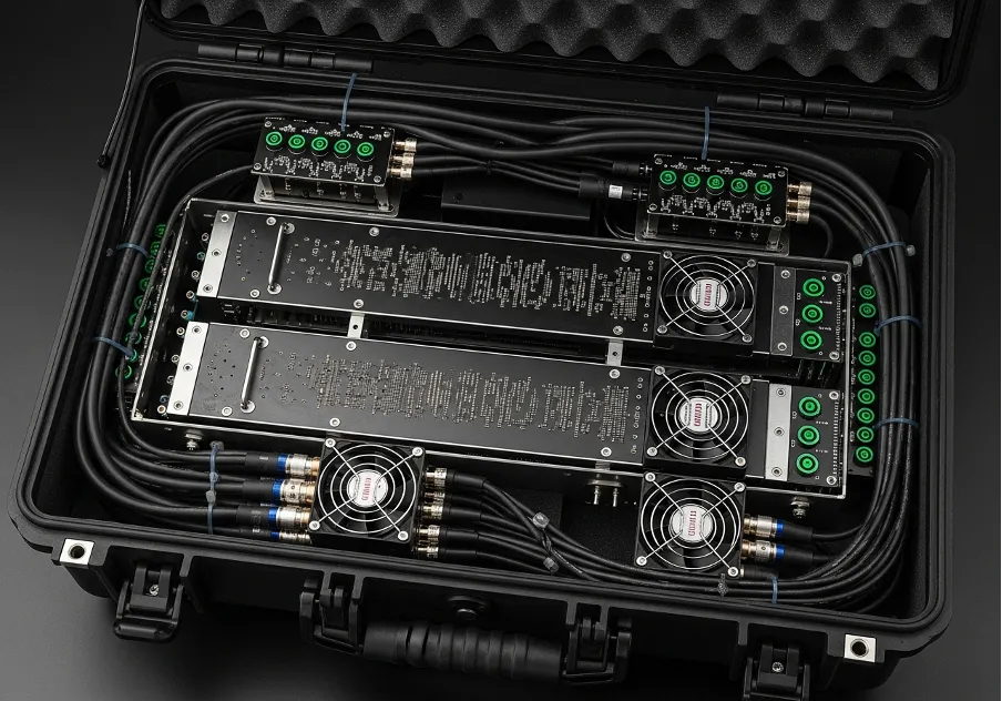
The data that comes off the drone is useless on its own. It's just a folder of photos or a massive file of laser points. The real work is in the processing. This is where you see the power of drone mapping as that raw data gets turned into a workable product. The software stitches all the individual photos into one big, seamless, and geometrically correct map.
This is also where we generate elevation models like DTMs (the bare ground) and DSMs (the surface, including buildings and trees). Being able to separate the two is crucial for things like drainage analysis or calculating construction material volumes. A good workflow for drone surveying and mapping is essential here. The whole point of uav mapping is to produce these accurate, measurable datasets.
The outputs are varied, but usually include:
- A high-resolution orthophoto.
- A 3D point cloud.
- A 3D mesh model (good for visuals).
- Contour lines for engineering plans.
These are files you can load directly into AutoCAD, Civil 3D, or your GIS software to start working with.
Where Is This Stuff Actually Used?
Everywhere. Construction sites use a quick drone survey for weekly progress tracking. Mines and quarries use them for calculating stockpile volumes, which is much faster and safer than sending a guy out to climb over them. The frequency of these drone surveys helps in operational planning.
Farmers use a special drone for surveying with multispectral cameras to check on crop health. Environmental consultants use them to monitor coastal erosion or map wetlands. The data from a single uav drone survey can be invaluable for land management. The applications are pretty much endless, and the benefits of a drone land surveying approach are almost always clear.
Accuracy Is Everything
Let me be blunt: if your data isn't accurate, it's just a pretty picture. To ensure survey-grade accuracy, we use Ground Control Points (GCPs). These are targets we lay out on the site and measure with high-precision GPS. This ties the drone's data back to the real world. A project that skips proper ground control for a uav aerial mapping job is asking for trouble.
Newer drones with RTK/PPK technology (a fancy type of GPS) can reduce the need for tons of GCPs, which is great. It makes the whole process of drone surveying much more efficient. But any good surveyor will tell you to still measure a few check points on the ground to verify the final accuracy. In the end, it's about trust. The client needs to trust the data. Choosing the right drones for surveying and mapping is part of that, but it's the field procedures and processing skill that really guarantee a reliable result.


Trusted Worldwide
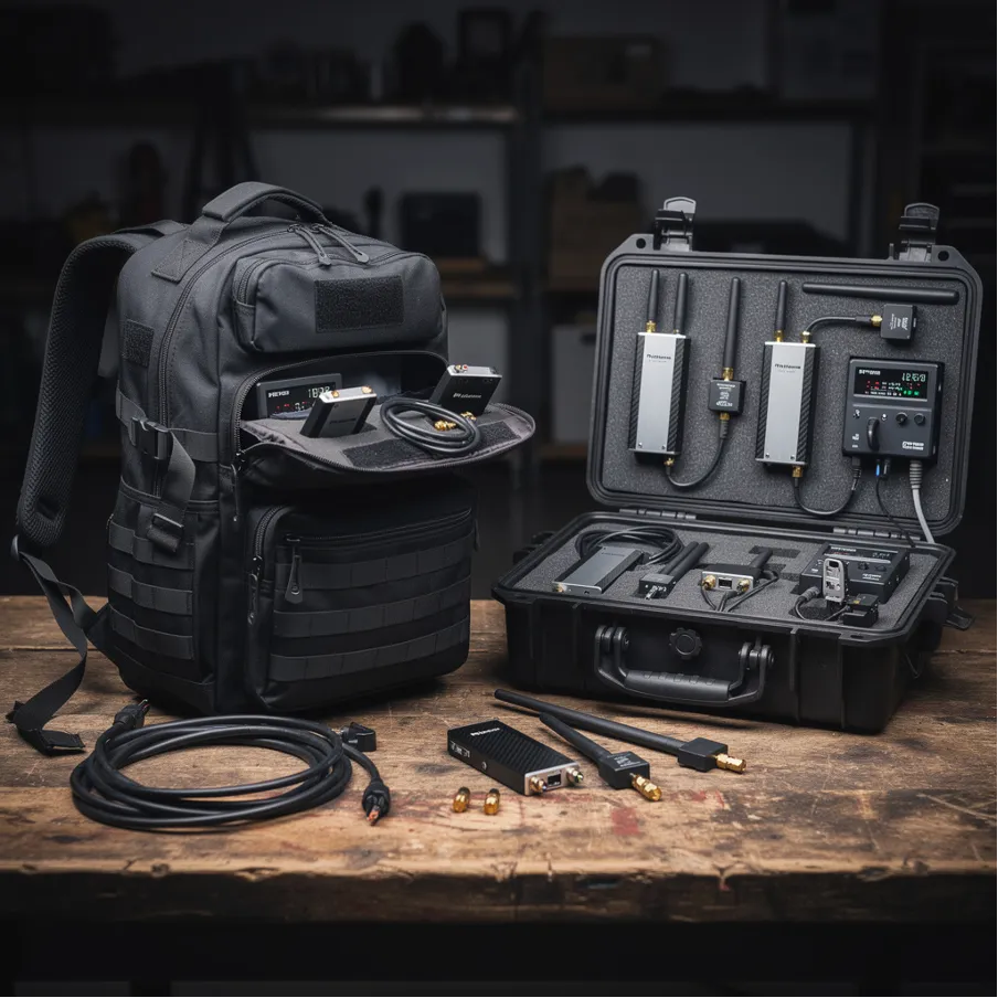
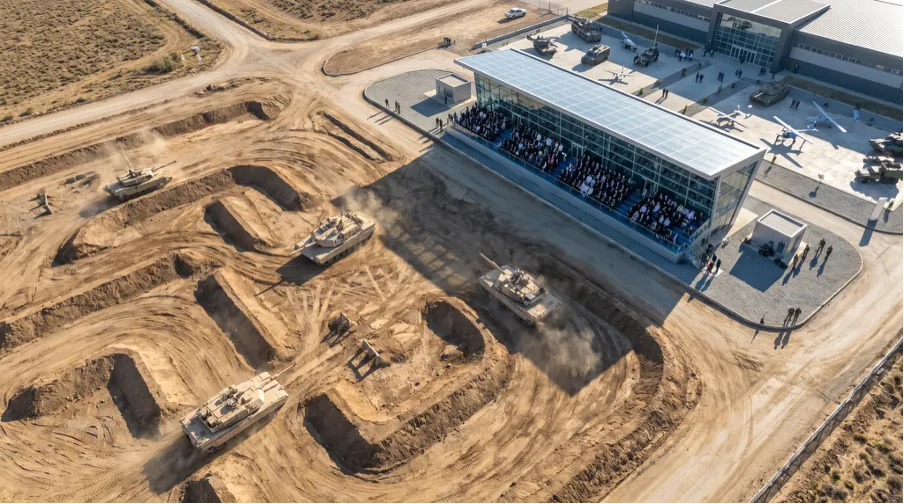
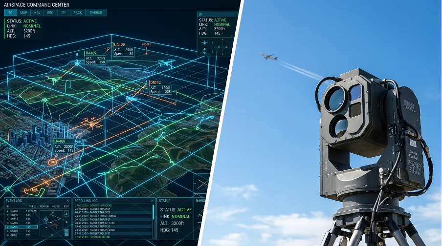
Operating in more than 50 countries, we provide cutting-edge defense solutions that ensure your safety to every corner of the globe.
Get Advice From Our Experts
Please complete the feedback form to gain exclusive access to our catalog showcasing models that are not available on our website
We’re here to assist you with any inquiries, support, or information you need. Whether you're interested in our defense products, looking to collaborate, or simply have a question, our team is ready to help.